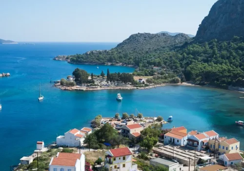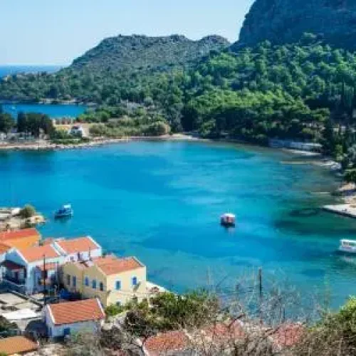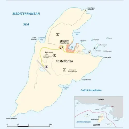
Kastelorizo is the easternmost of the Greek islands and is located in the Eastern Mediterranean. It lies just 3 km from the Anatolian (Lycian) coast and is approximately midway between Rhodes and Antalya. The island is 6 km long and 3 km wide, covering an area of 9.2 square kilometers.
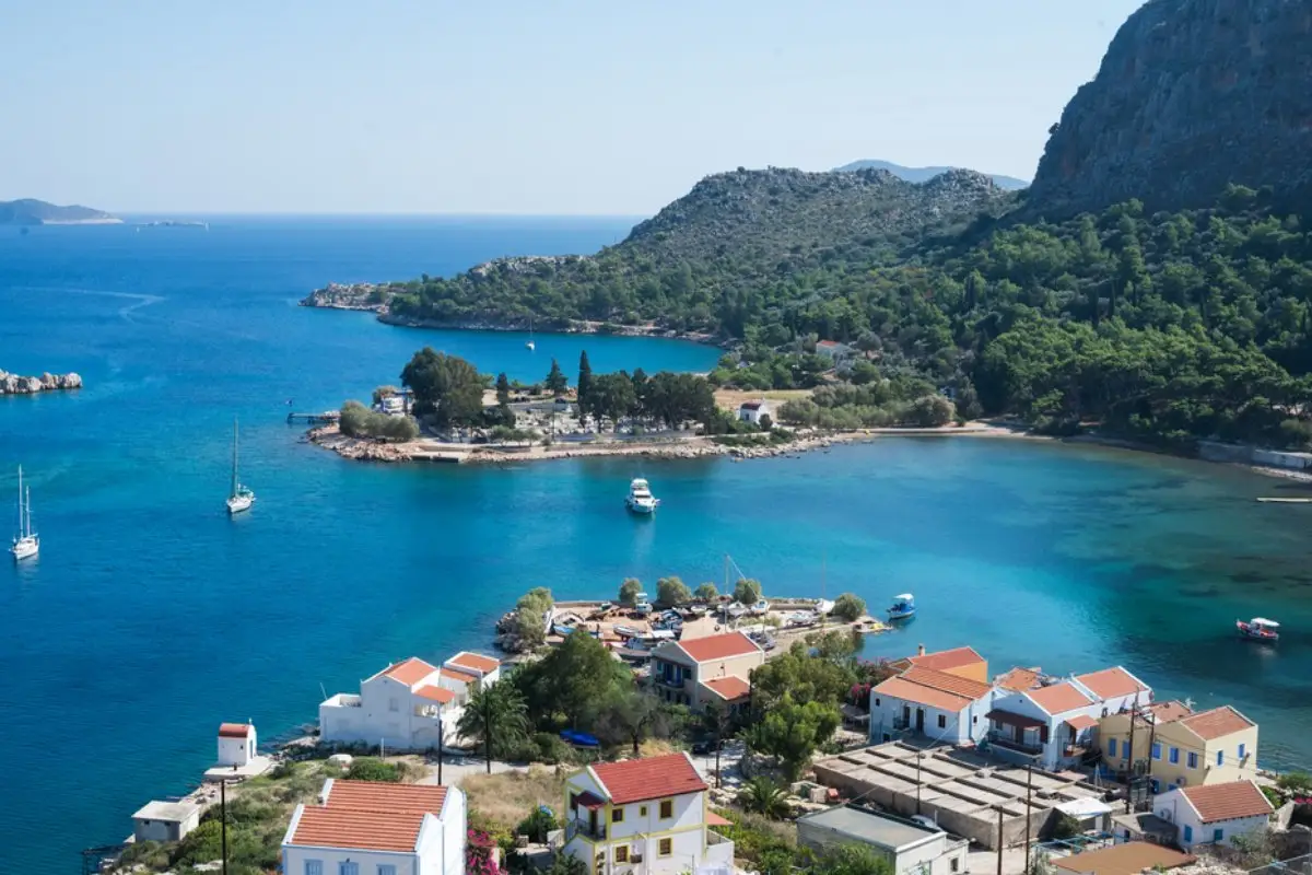
It has a triangular shape and is oriented from southwest to northeast. Three capes stand out on the island: Agios Stefanos (north), Nifti (east), and West (the southwesternmost point). Between the first two lies a bay where the island’s only town is located.
The cape closest to Anatolia, Agios Stefanos, is situated 2,250 meters south of the Turkish district of Kaş (Greek: Andifli, the ancient Greek city of Antiphellos). Cape Nifti lies slightly farther away. The island’s high and rugged coastline, along with its mountainous terrain, makes access from the west difficult. The soil consists mainly of limestone, and olives, grapes, and beans are cultivated. There is no natural source of potable water on the island.