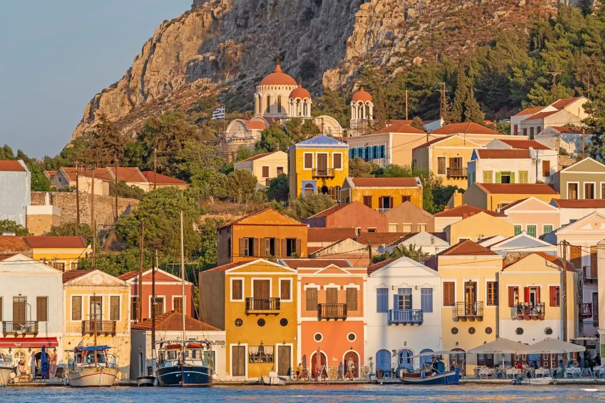
The Church of Aya Nikolas and the town houses are relatively tall buildings, distinguished by their wooden balconies and East Aegean–style windows. Many of the houses behind the quay are in ruins. On the eastern side, at the beginning of the harbor, stands the Town Hall (Delegation Building), built in 1926 by the Italian architect Florestano Di Fausto, who was also the architect of the most important buildings of the Italian period in Rhodes. Nearby, there is also a mosque that is no longer in use and has been recently restored.
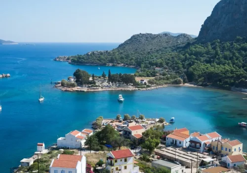
The town pier begins here and stretches along the eastern shore of the harbor. Part of the main square, Platea Ethelondon Kastellorizou, extends along the yacht marina. A little further on stands the Church of Aya Elias. A path behind the quay leads up to the Castle of the Knights of Rhodes. The surviving remains include a straight wall that was part of a rectangular tower, the ruins of a round tower at the eastern corner, and another round tower by the sea belonging to the oldest phase of the fortress. A Doric inscription carved into stone testifies to the existence of a Classical-era castle. Inside the tower, there is a cistern carved into the ground. The castle offers a beautiful panorama of the town and the Anatolian coast, including the town of Kaş.
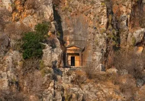
A small but interesting museum built above the mosque provides information about the island’s history. Its diverse collection includes diving suits, ceramic fragments, frescoes, jewelry, household items, and coins. Behind the museum, steps lead to a Lycian Tomb (the only Lycian tomb in Greece). Carved into the limestone rock, the tomb features a Doric-style façade and a pediment with an acroterion. It resembles examples found in Anatolia, though it is simpler in design.
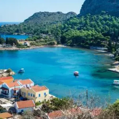
Climbing the steps on the eastern side of the town brings you to the Horafia district. Here you will find a square surrounded by the Byzantine-style, high-domed Church of Saint George (Aya Yorgo) and the Cathedral of Saints Constantine and Helena. The interior of the cathedral consists of three aisles divided by monolithic granite columns brought from the Temple of Apollo Lykeios in the ancient city of Patara in Anatolia. Pointed Gothic arches rise above the columns. Further east lies the small Mandraki district, which serves as the commercial harbor area.
On the western side of the town, beyond Mount Vigla (270 m), on the island’s second-highest hill, stands Paleokastro (Old Castle), also known as Panagia due to the Monastery of the Virgin Mary. The fortress is of Greek origin (see the history section below), rectangular in plan and measuring 60 × 80 meters. Inside, there is a large cistern and an ancient tower built of rectangular limestone blocks. Carved into the foundation of the castle is a Doric inscription dating to the 3rd or 4th century BC, recognizing the sovereignty of Rhodes over Megiste (the former name of Kastellorizo) and its surrounding area. On the eastern side are the remains of the Propylea.
Today, the island’s most striking attraction is the Blue Cave in the southeast, locally known as Phokiali. Measuring approximately 40–50 meters in length, 25–30 meters in width, and 20–25 meters in height, it is larger than the famous Grotta Azzurra (Blue Grotto) on the island of Capri in Italy.
Sunlight refracting through the upper layers of seawater creates the cave’s famous blue illumination and gives submerged bodies a shimmering silver appearance.
The cave can only be visited by boat, and its entrance is accessible only when the sea is calm and the water level is about one meter below the opening. The best time to visit is early in the morning, when the sun is still low.